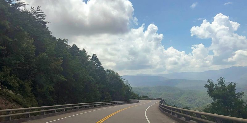
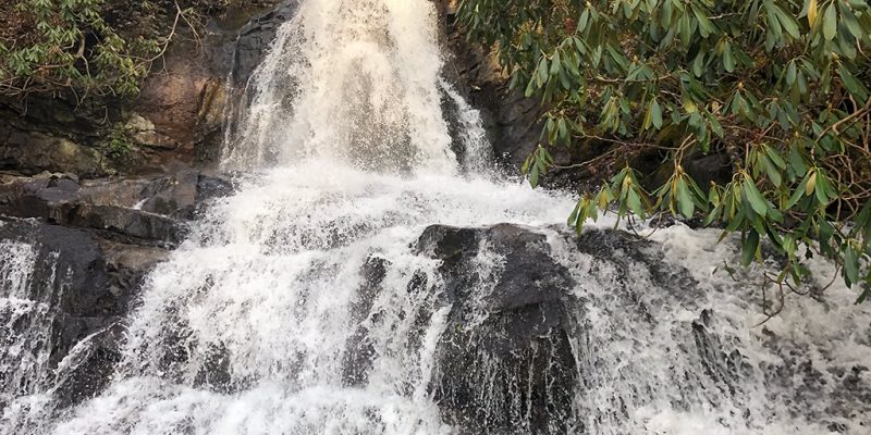
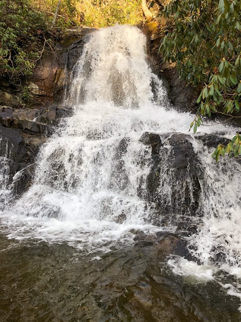
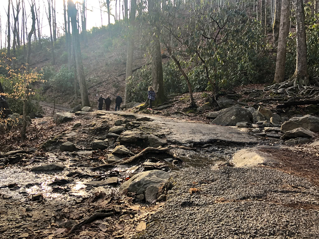
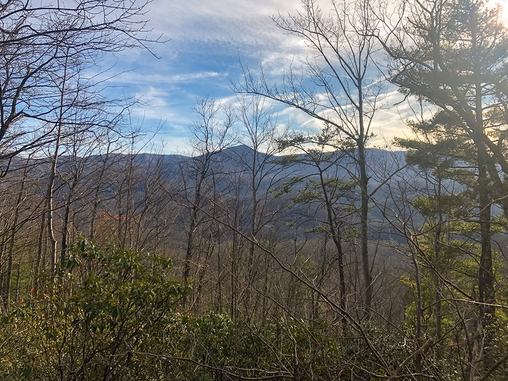
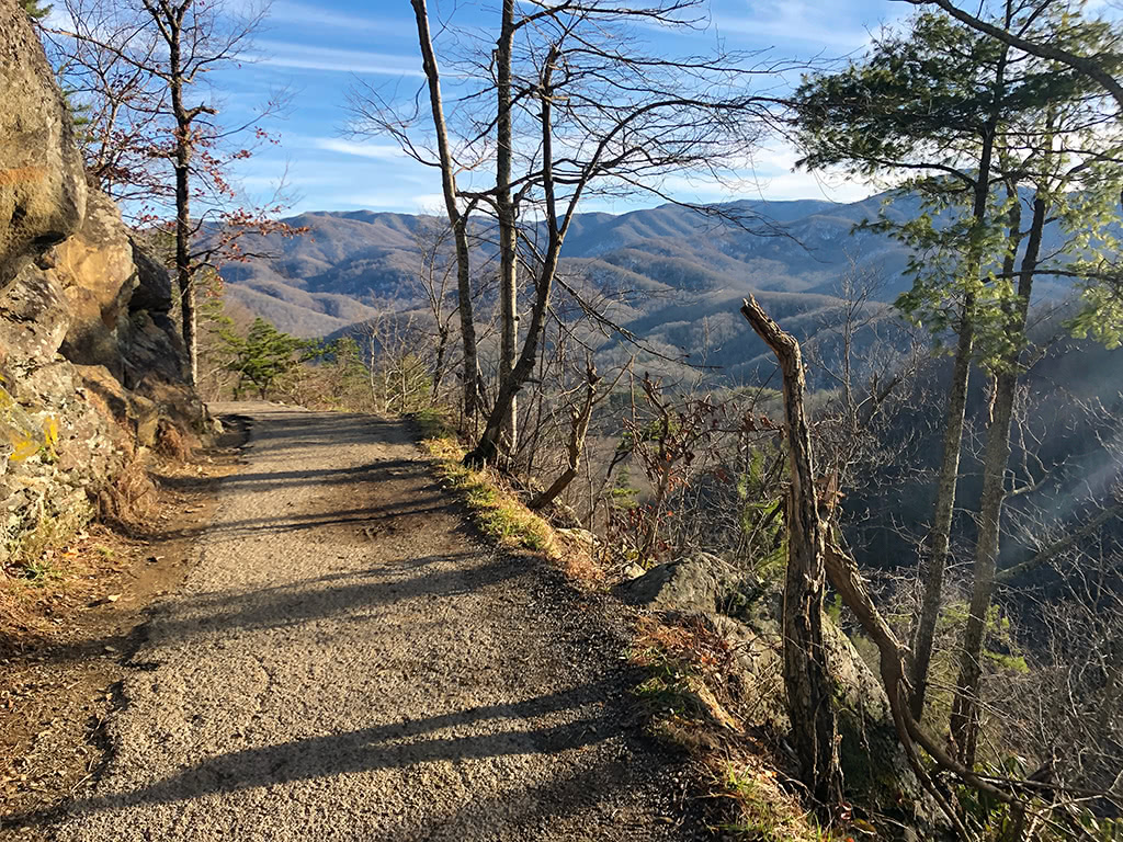
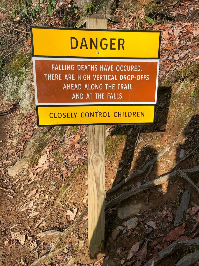
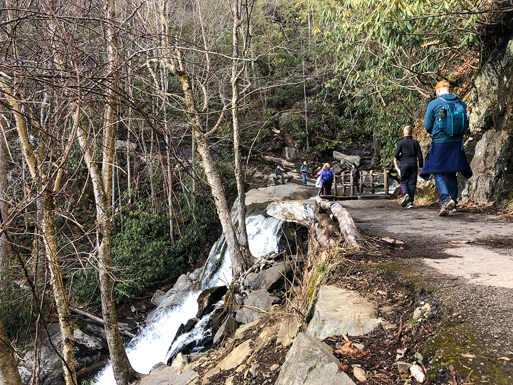
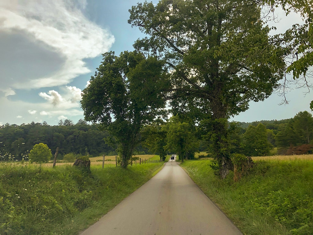
With over 12.5 million visitors in 2019, the Great Smoky Mountains National Park is the most visited National Park in the United States. One of the easiest and simplest ways to experience the park is by taking one of the many scenic drives in the Smoky Mountains.
*This post may contain affiliate links which help support this site, but won’t cost you anything extra. Read our full disclaimer.
From swimming holes to historic buildings and beautiful panoramic views, we have listed some of our favorite scenic drives that will show you a little bit of everything that the Smoky Mountains has to offer!
And of course for those that want a little extra adventure along the way, we have also listed a few side stops with some hiking options to check out while you are out on your drive!
Learn More About the Great Smoky Mountains!
There is so much to see and do while visiting the Great Smoky Mountains! From camping in Elkmont to family-friendly hiking to exploring Cades Cove, you definitely will not run out of things to see and do!
While one of our favorite things to do is just enjoy some of the best scenic drives in the Smoky Mountains, be sure to do some research and find other unique places to explore while you are visiting!
Here are a few great resources to learn more about the Great Smoky Mountains:
Lonely Planet Great Smoky Mountains National Park
Moon Great Smoky Mountain National Park
For more history and information about the Smokies, be sure to check out more Great Smoky Mountains Books and Guides here!
The Best Scenic Drives in the Smoky Mountains
1. Cades Cove Loop Road
Directions: Cades Cove Scenic Loop Road, Townsend, TN
One of the most popular scenic drives in the Smoky Mountains is Cades Cove. This 11 mile one-way loop road takes you by historic cabins, churches, beautiful views, and so much more!
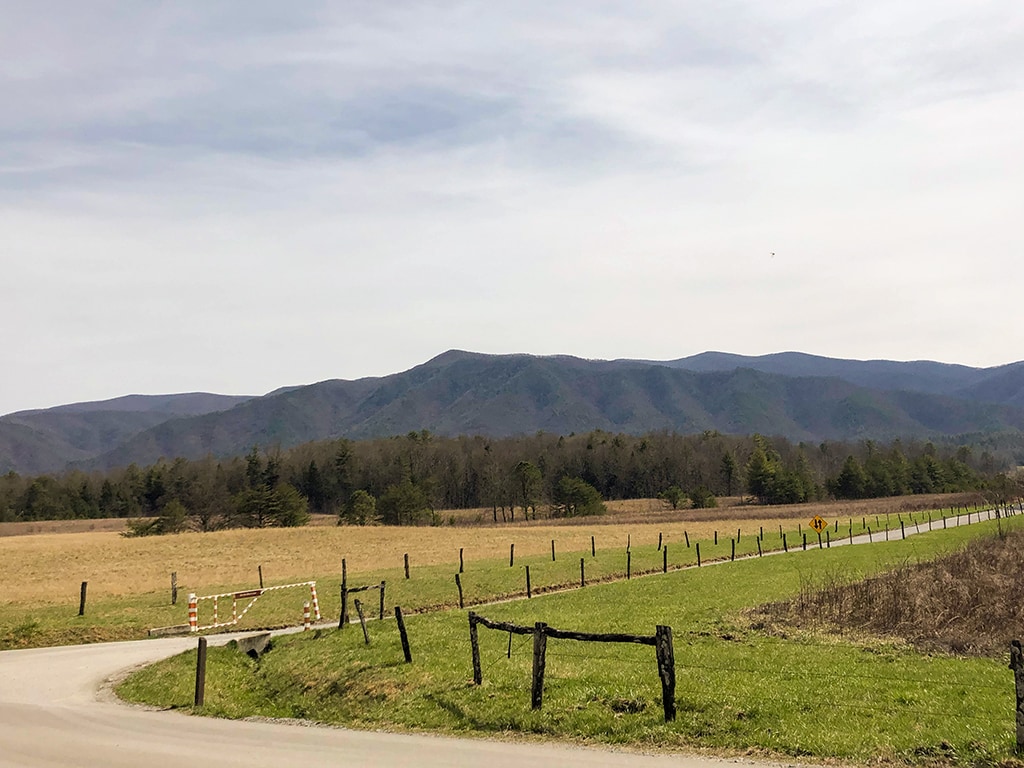
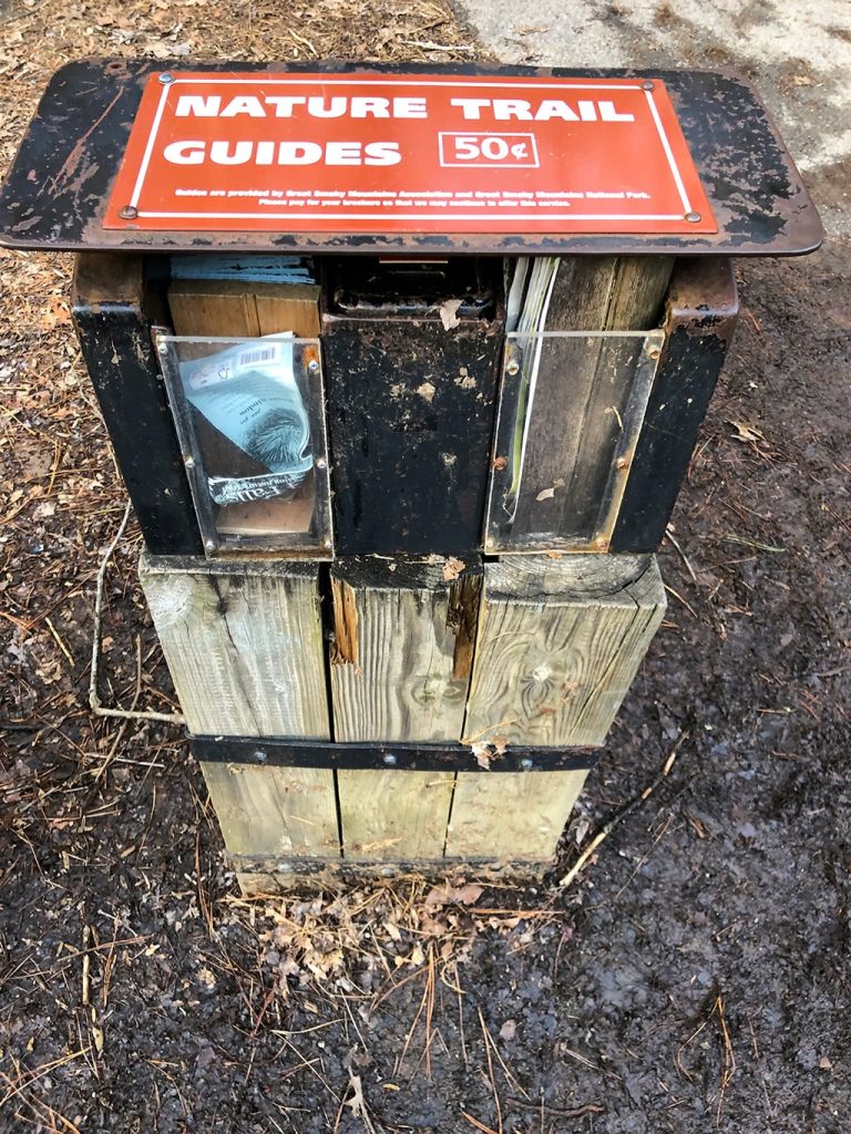
This drive gives you a look back into the rich history of the early settlers of Cades Cove. Be sure to grab an Auto Tour booklet ($1.00) at the entrance that shows you all of the main places of interest.
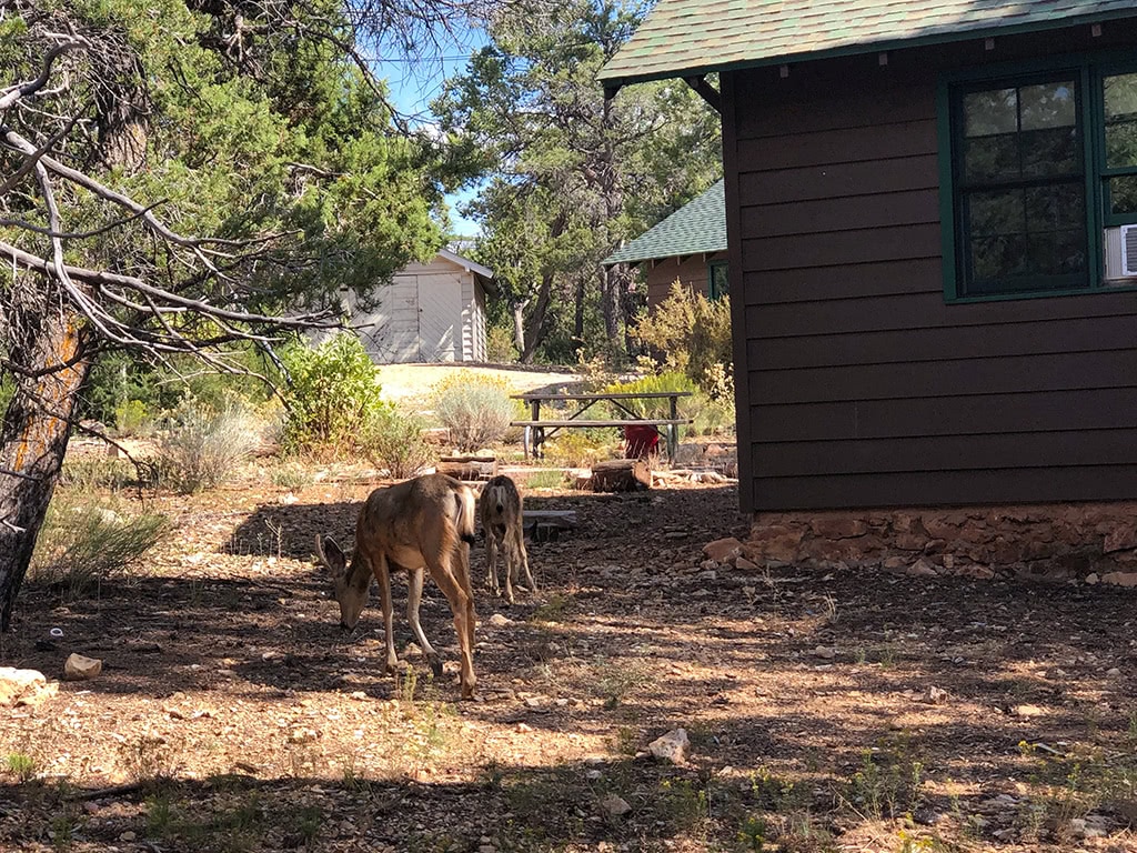
Take time to stop at a few of the cabins or churches along the way to get a good picture of what the early settler life was like. Be sure to keep an eye out along the way for deer, bears, turkeys and other wildlife that are often seen in this area.
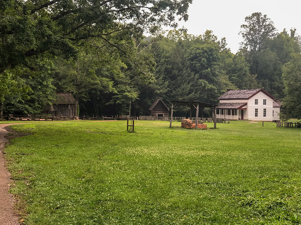
About halfway around the loop, be sure to stop at the Cades Cove Visitor center. Here you can see the Grist Mill and more historic buildings.
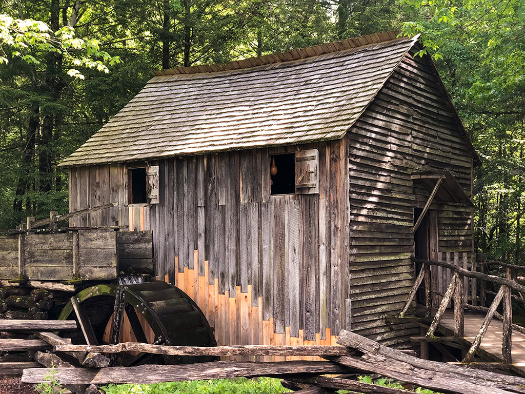
Be sure to check the hours on the nps.gov site as the loop is closed to motor vehicles on Wednesday and Saturday mornings until 10am to allow for hiking and biking of Cades Cove.
*PICNIC OPTION* Be sure to pack a lunch and enjoy a little riverside picnic in the Cades Cove picnic area while you’re there as well!
Hiking Opportunities:
- Elijah Oliver Homesite – And if you are up for a short hike, check out the Elijah Oliver homesite (1.0 mile roundtrip) that can be found midway around the loop.
- Abrams Falls – Or for a more challenging hike, check out Abrams Falls (5.2 miles roundtrip) which is a beautiful 20 ft waterfall. This hike can also be found near the halfway point of the loop road.
2. Roaring Fork Motor Nature Trail
Directions: Roaring Fork Motor Nature Trail, Gatlinburg, TN
This 5.5 mile long loop, one-way, offers some beautiful views of mountain streams and old growth forests, along with some great hiking and historic buildings! Be sure to purchase an Auto Tour booklet at the beginning of the trail to read more about the history of the area.
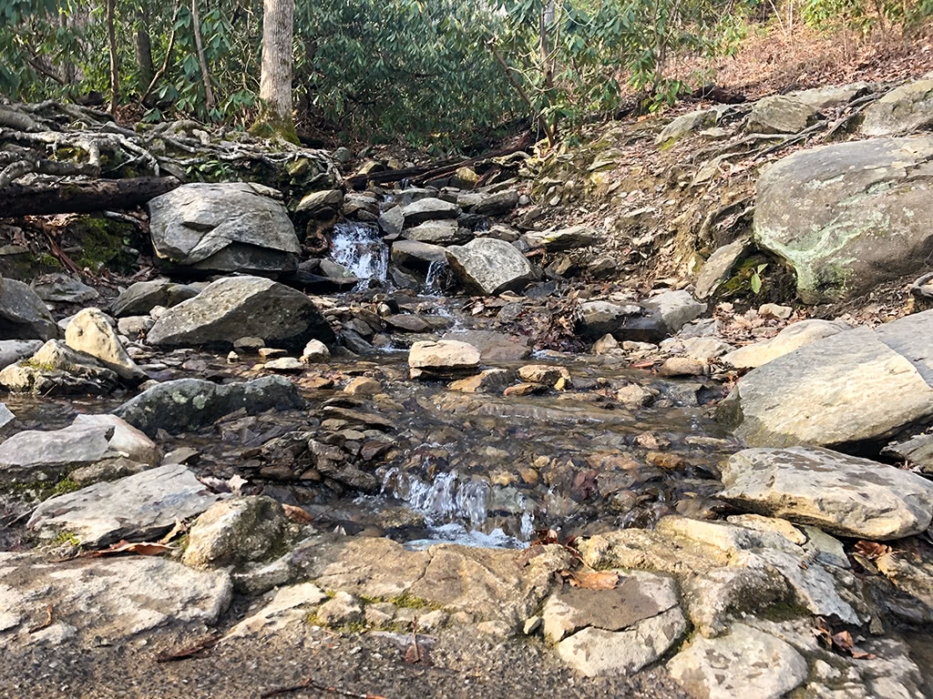
For optimal viewing of the Roaring Fork’s gorgeous cascades, try to visit during a more wet season or after a recent rain.
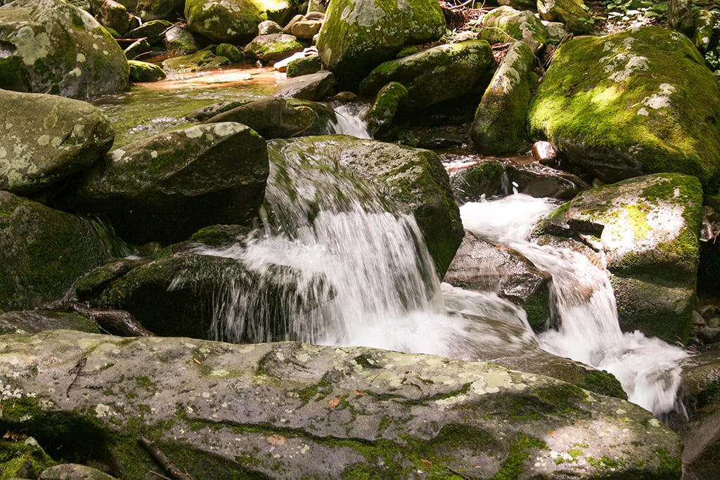
And make sure you look for the “Place of a Thousand Drips” that you will find along the roadside closer towards the end at Stop #15.
Another fun place of interest towards the end of Roaring Fork is the privately owned, Ely’s Mill which offers more unique history of the area. It’s also a great place to stop by to visit and grab some unique handmade souvenirs from the Smokies.
Be sure to check the nps.gov site for seasonal closures as the Roaring Fork Motor Nature Trail is closed for several months during the winter season.
Hiking Opportunities:
- Rainbow Falls – For a more challenging hike, try the Rainbow Falls trail that leads you to an 80 ft waterfall. This is a 5.4 mile roundtrip hike that is definitely considered more difficult.
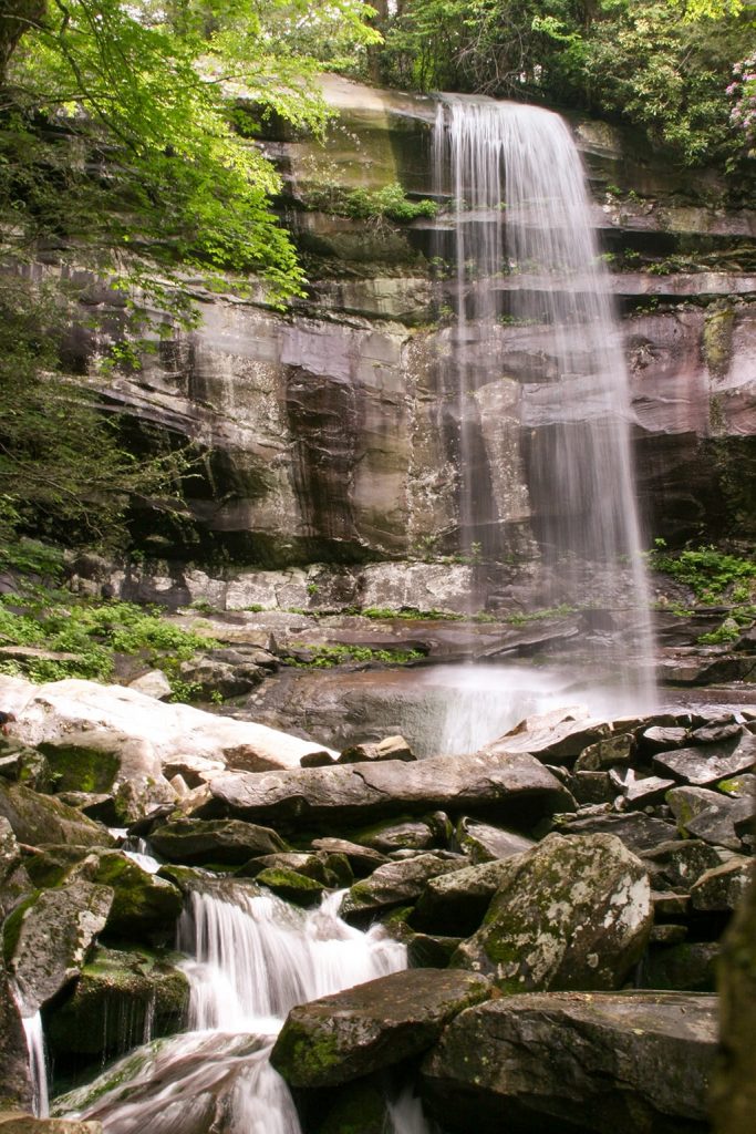
- Grotto Falls – Another great option that is only moderate in difficulty is the Grotto Falls trail. It is a 2.6 miles roundtrip hike where you can actually walk behind the waterfall!
3. Foothills Parkway
Directions: Southwest Entrance at Chilhowee Lake or Northeast Entrance in Walland or Wears Valley Entrance
From the lake to the mountains, the Foothills Parkway is a great place to see many of the beautiful features of the Smokies. With a total of 33 miles from Chilhowee Lake to Wears Valley, this drive offers amazing views right from your own car!
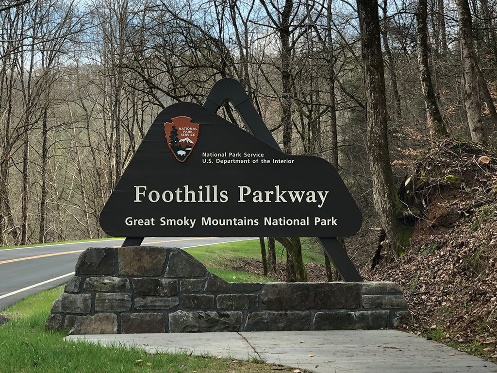
Beginning at the Southwest Entrance at Chilhowee Lake, you can drive this 17 mile portion up to the Northeast Entrance in Walland.
The section from Walland to Wears Valley is what’s called the “Missing Link of the Foothills Parkway.” This section travels from Walland to Wears Valley for 16 miles along the edge of the mountains and offers incredible views of the surrounding areas. You can read more about exploring the Foothills Parkway Missing Link here.
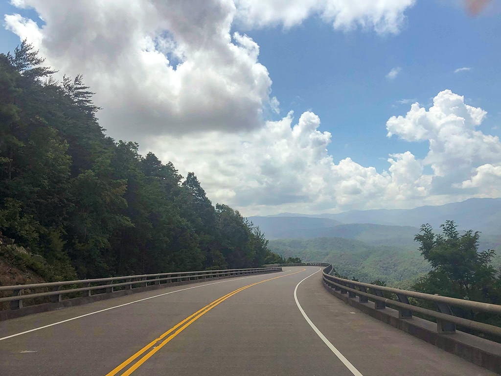
If you are coming from the Wears Valley area, you can go half way (16 miles) to the Walland area. Or continue on to Chilhowee Lake for the full 33 miles.
There are so many ways to experience the Foothills Parkway! Plan to drive at least part of it at some point as it really is one of the most scenic drives in the Smoky Mountains!
Hiking Options:
- Look Rock Tower – Between Chilhowee Lake and Walland, you can also stop by and do a short hike (1 mile roundtrip) to Look Rock Tower. The view at the tower offers 360 degree panoramic views of the Smoky Mountains and is worth the quick trek!
4. Newfound Gap Road
Directions: Start at Sugarlands Visitors Center, Gatlinburg, TN to Ocanulftee Visitor Center, Cherokee, NC
From the Sugarlands Visitor Center in Gatlinburg, TN to the Ocanaluftee Visitor Center in Cherokee, NC, the Newfound Gap Road drive is about 31 miles. The Newfound Gap Road ascends about 3,000 feet.
It is the lowest drivable pass at 5,046 feet in the Great Smoky Mountains! There are so many incredible opportunities to experience the Smokies along this drive!
*PICNIC OPTION* As you begin from the Gatlinburg side, you will pass the Chimney Tops Picnic Area on your right. This is a great place to stop for a picnic and play in the river!
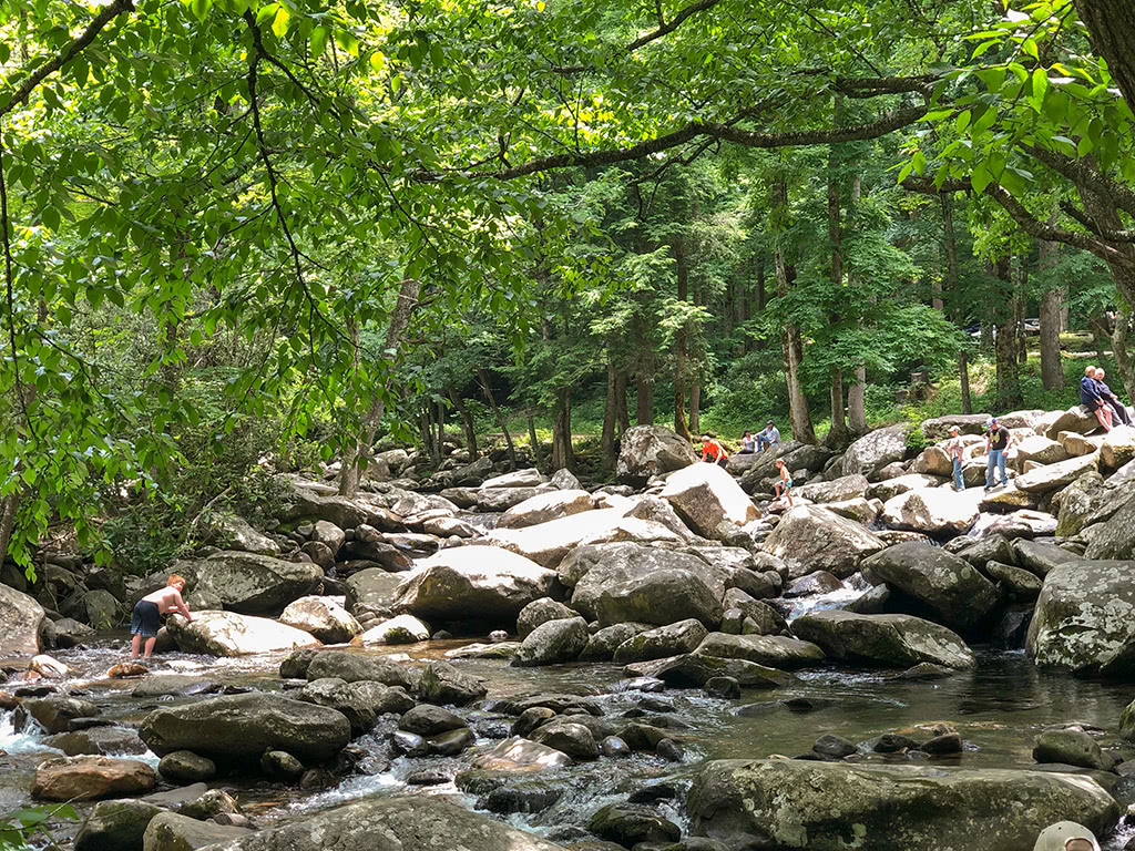
From Sugarlands Visitor Center, Newfound Gap is about 13 miles and is a great stop along the way! You can hop out and snap a quick picture at the state line of North Carolina and Tennessee. Be sure to walk to the overlook and take in the magnificent views!
This is also where the Rockefeller Memorial is located where President Franklin Roosevelt dedicated the Great Smoky Mountains National Park!
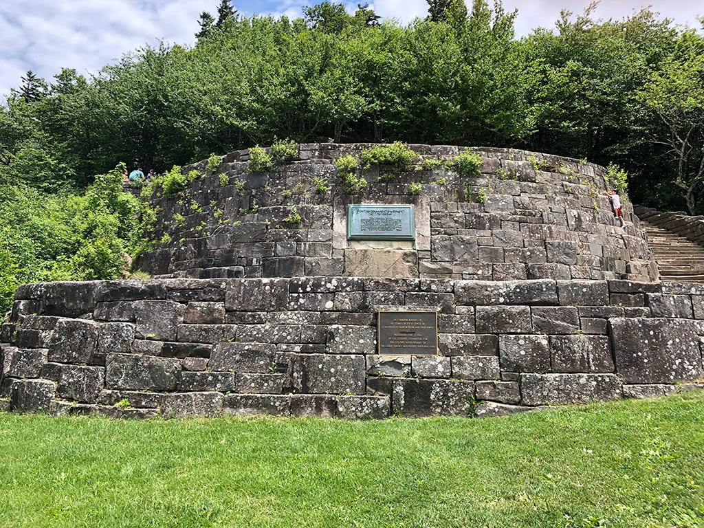
Immediately after that, you will pass Clingmans Dome Road (more on that below!) This is where you will find the highest peak in the Smokies! (Save this drive for another time!)
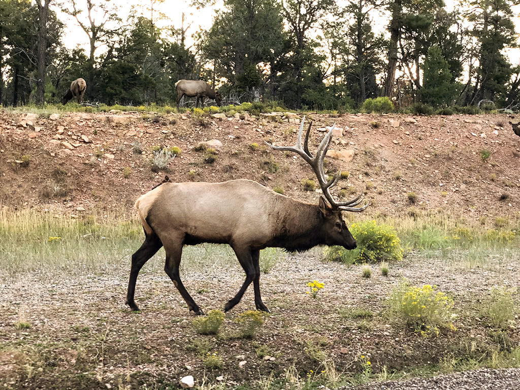
As you travel on, you will find several more overlooks to take in the beautiful views of the mountains. As you get closer to Cherokee, keep an eye out for Elk as they are often seen roaming along the roadside at times!
Once you make it to the Oconaluftee Visitor Center, stop by and check out the history of this area! The Visitor Center also neighbors the Mountain Farm Museum, which is also worth exploring at some point.
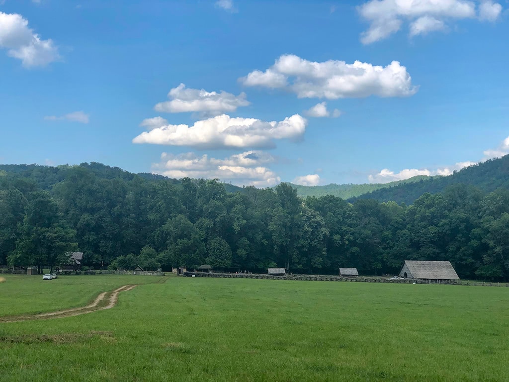
Double check road closures at NPS.gov beforehand because Newfound Road is sometimes closed during the winter due to weather!
Hiking Opportunities:
- Chimney Tops Trail or Alum Cave Trail – In the stretch between Sugarlands and Newfound Gap, you have several hiking options. From the Chimney Tops trail (4 miles roundtrip), to the Alum Cave trail (that will also lead you to Mt. Leconte, the park’s 3rd highest peak), there are plenty of great trails in this area.
- Mingo Falls – If you make the complete drive to Cherokee, you can see one of the tallest waterfalls in the Appalachian Mountains, Mingo Falls. It is less than 1 mile (roundtrip) to see the 120 ft waterfall.
- Deep Creek Waterfalls Loop – Head on over to the Deep Creek area and hike the Deep Creek Waterfalls Loop. This hike is about 2.2 miles roundtrip and you can see 3 spectacular waterfalls all within a short distance!
5. Little River Road Drive
Directions: Start at Sugarlands Visitors Center, Gatlinburg, TN drive to the Towsend, Wye, Townsend, TN (or keep going to Cades Cove Scenic Loop Road, Townsend, TN)
From the Sugarlands Visitor Center to the Townsend Wye, it is about 17 miles. Along this route, you will pass several fun places to explore along the way!
About 12 miles from Sugarlands, you will pass the Sinks on your left which are beautiful anytime of year! It is easy to find as there is a designated parking area. It is also relatively congested during peak times.
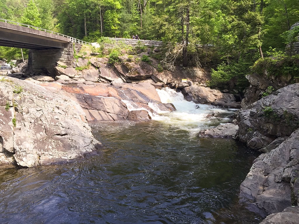
Travel another mile from the Sinks (about 13 miles from Sugarlands) and you will pass Meigs Falls on your left.
It is a little more off the road, so keep your eyes peeled as not to miss this beauty! There is also a pull-off that you can stop and take a picture of the falls.
*PICNIC OPTION* Be sure to pack a lunch with you and stop by Metcalf Bottoms Picnic Area. This is a great place year round to enjoy a picnic.
Even if you don’t make any stops, the drive itself is beautiful and winds along the edge of the Little River and offers many gorgeous sights.
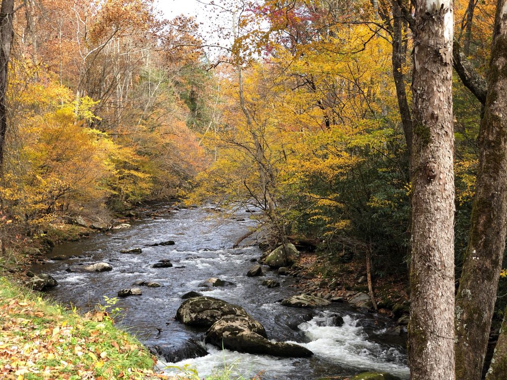
Once you make it to the Townsend Wye, if warm weather allows, stop and take a little swim in this popular swimming hole. Or continue on straight ahead towards Cades Cove for more exploring!
From the Townsend Wye, Cades Cove is an additional 8 miles.
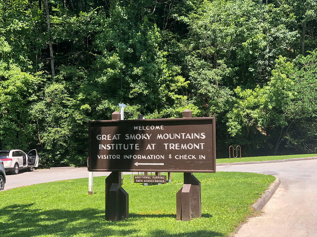
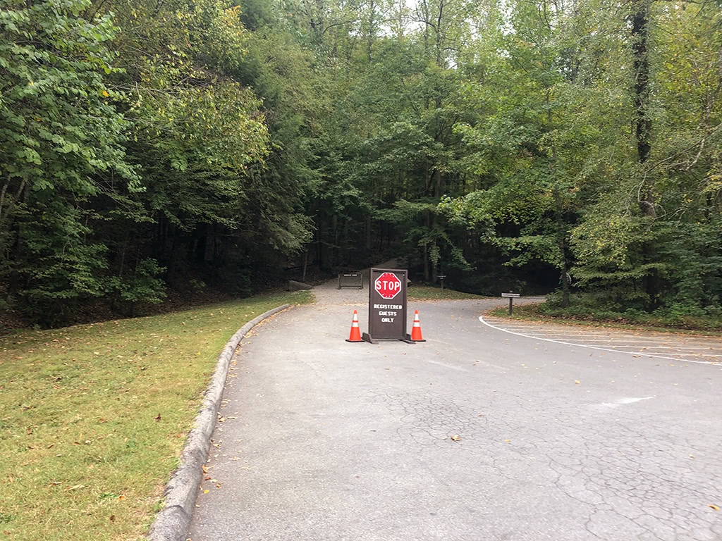
*SIDE-TRIP OPTION*– Along the stretch between the Townsend Wye and Cades Cove, you can take a left onto Tremont Road to see more beautiful river views. Be sure to stop in at the Great Smoky Mountain Institute of Tremont while you are there as well!
Hiking Opportunities:
- Cataract Falls – At the Sugarlands Visitor Center, there is a quick and easy nature trail that you can follow to Cataract Falls (1 mile roundtrip).
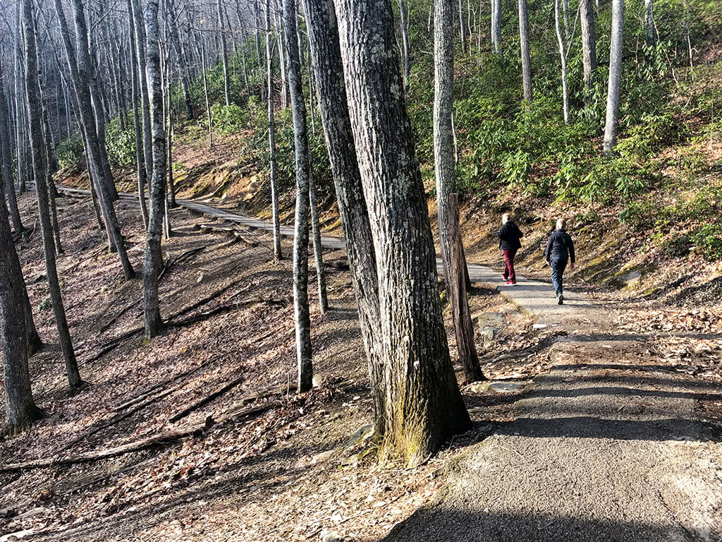
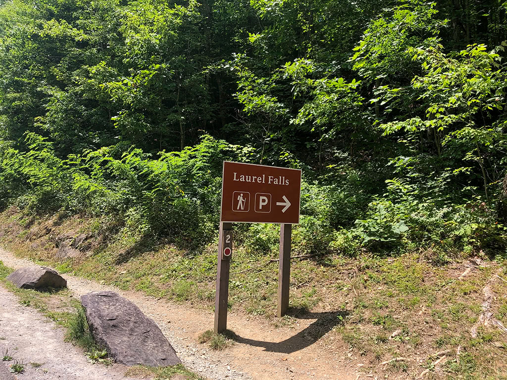
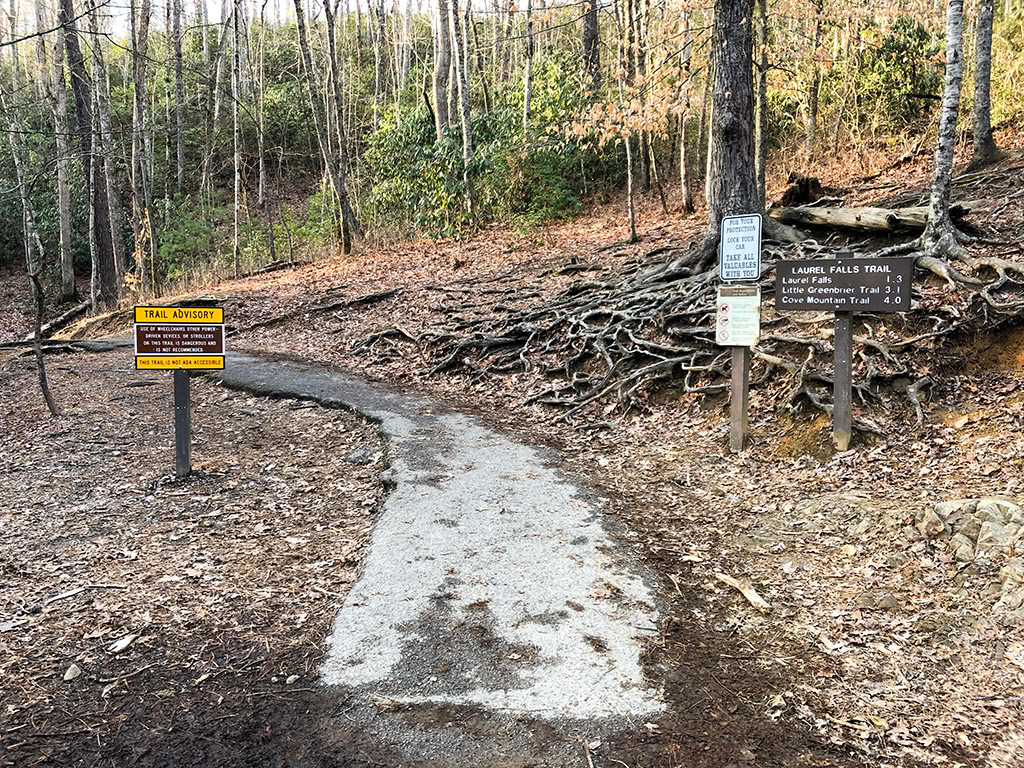
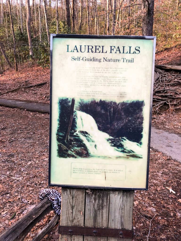
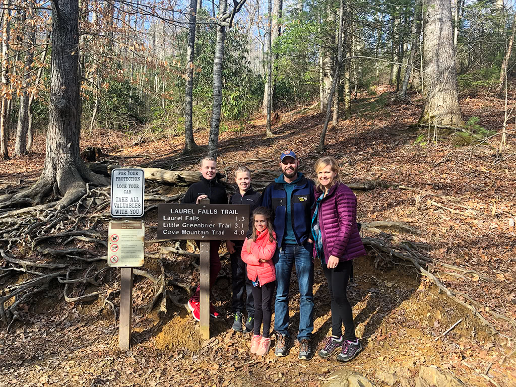
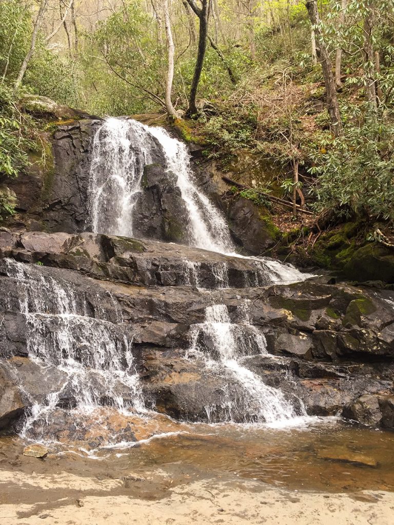
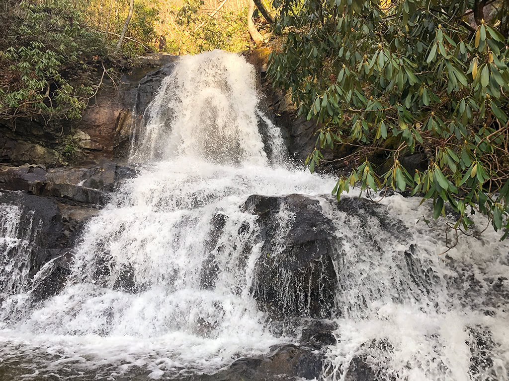
- Laurel Falls – About 3.8 miles from the Sugarlands, you will find the Laurel Falls hiking trail (2.6 miles roundtrip). Be sure to plan ahead as it is one of the most popular waterfall hikes in the Smokies.
- Explore Elkmont – Another unique area to explore nearby is the Elkmont Historic District near the Elkmont Campground. It has everything from a Troll Bridge, old homesites and chimneys to plenty more hiking options as well!
- Little Greenbrier Schoolhouse – From the Metcalf Bottoms picnic area, you can also take a short hike (1.2 miles) to the Little Greenbrier Schoolhouse.
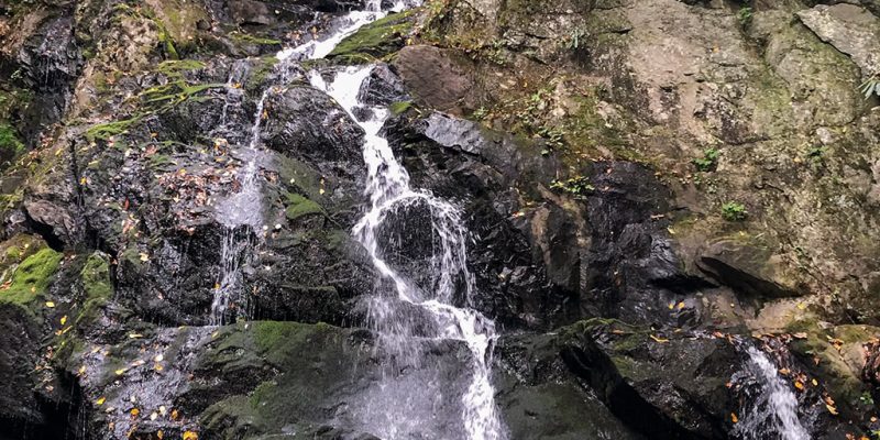
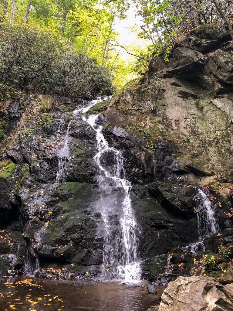
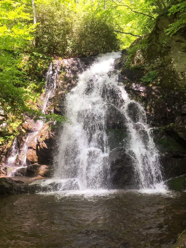
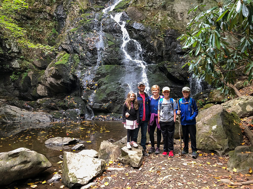
- Spruce Flats Falls – From the Great Smoky Mountain Institute at Tremont, you will also find another great hike to Spruce Flats Falls. This hike is 2 miles roundtrip and takes you to the 30 foot waterfall that is absolutely gorgeous!
6. Clingmans Dome Road
Directions: Newfound Gap to the Clingmans Dome Visitor Center
Right around the corner from Newfound Gap (see #4 above), you will find Clingman’s Dome Road. This road has several beautiful pull offs along the way that offer amazing views of the Great Smoky Mountains.
The Clingmans Dome Road is about 7 miles one way and is closed during the winter months. Be sure to check the road closures before you head that way!
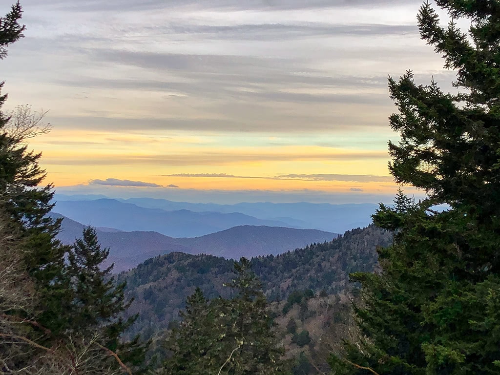
Clingmans Dome is one of the most popular places to visit in the Smoky Mountains, so try to get there earlier in the day or on a weekday if at all possible.
The view from the Clingmans Dome Visitor Center area and parking lot is absolutely breathtaking. Stop in the Visitor Center and chat with a Park Ranger to learn more about the area. And be sure to get a stamp in your National Park Passport book while you’re there as well!
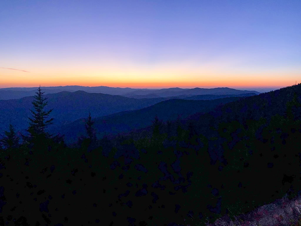
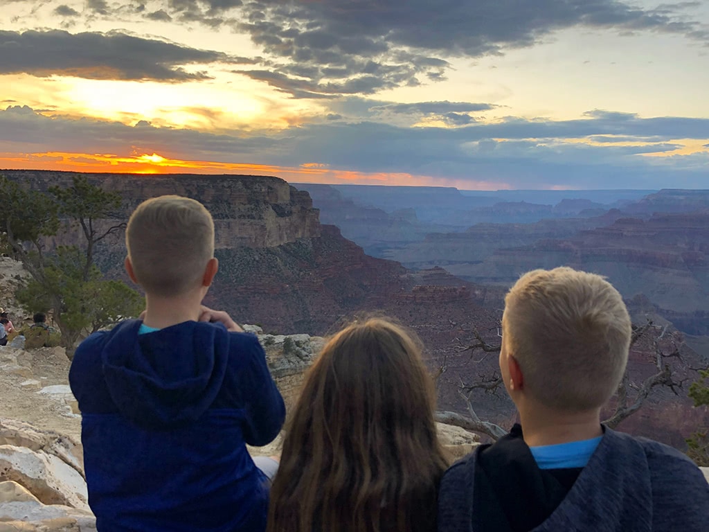
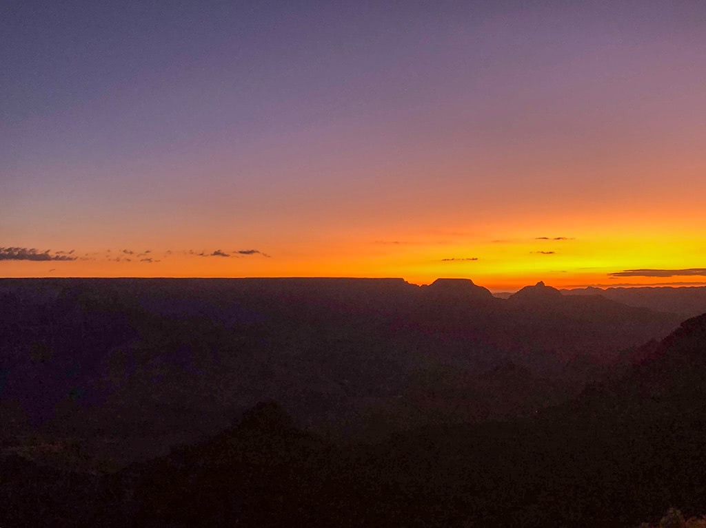
And if you happen to be there around sunset, be sure to stick around to see it! It’s a beautiful place to experience a Smoky Mountain sunset!
Hiking Opportunities:
- Clingmans Dome Tower – For some extra panoramic views of the Smokies, head on up the trail for a 1 mile roundtrip hike to the Clingmans Dome Tower. While this is a paved trail, some find it a little challenging due to the rather steep incline. Be sure to allow plenty of time and be prepared for any temperature changes as the elevation does make a difference especially in the cooler seasons.
Final Thoughts
There are many ways to see and experience the Great Smoky Mountains National Park! Be sure to take time to do at least one of theses scenic drives in the Smoky Mountains next time you are in the area!
And if you have more favorite scenic drives to add to the list, be sure to comment below! We love finding new ways to see the Great Smoky Mountains!
More Related Articles:
- Great Smoky Mountains Books and Guides
- John Oliver Cabin in Cades Cove
- Elkmont Campground Smoky Mountains
- Hike Metcalf Bottoms Trail to Little Greenbrier School
- Laurel Falls Trail – Hike to Laurel Falls in the Great Smoky Mountains
- Spruce Flats Falls Hike – Great Smoky Mountains
- Cataract Falls – A Beginner Waterfall Hike in the Great Smoky Mountains
- Deep Creek Waterfalls Hike in the Smokies
- Look Rock Tower Hike in the Great Smoky Mountains
- The Foothills Parkway Visiting the Missing Link
- Tips for Visiting Clingmans Dome

